Climate projections of hazards and weather variables
Our climate projections data are suitable for direct use in climate change impact studies and physical risk assessments. Our referenced high-resolution, multi-model, and multi-scenarios climate projections of weather hazard and variables, is the most coherent collection of climate information available for risk analysis and modeling.

Climate projections features
The climate simulation data have a variety of specifications among which spatial resolution, climate models, future scenarios, temporal resolution and data formats.
High-resolution
A spatial resolution of 0.10°x0.10° over the globe. Temporal resolution is annual for hazards indicators, daily for variables, from 1981 to 2100.
Multi-scenario
Three Shared Socioeconomic Pathways from IPCC AR6 (SSP1-2.6, SSP2-4.5 and SSP5-8.5) based on the CMIP6 experiment.
Multi-model
Five reference Earth System Models from IPCC AR6 selected by the Inter-Sectoral Impact Model Intercomparison Project (ISIMIP). More models are added progressively.
Global Warming Levels
Hazard metrics can be deliverd by Global Warming Levels (GWLs). GLWs show how much global temperature has risen above pre-industrial conditions (e.g., 3°C).
Custom periods
Hazard annual metrics can be delivered as is or averaged over 20-years or 30-years periods according to your specifications.
Multiple formats
Data files are in netcdf, a commonly used format for climate model data, but depending of the volume of data other formats are possible such as geotif or shapefile.
Climate projections of hazards
A collection of the main hazards used in physical risk analysis for climate related financial disclosures and strategic risk assessments.

Cold & frost waves
Cold and frost wave hazard indicators based on surface daily temperature.
read moreHeavy precipitation
Heavy precipitation hazard indicators based on daily total precipitation.
read more
Temperature variability
Temperature variabilty indicators based on surface daily temperature.
read morePrecipitation variability
Precipitation variabilty indicators based on daily total precipitation.
read more
Water stress
Water stress hazard indicators based on precipitation and potential evapotranspiration.
read moreFloods
Pluvial flood hazard indicators based on daily total precipitation.
read moreSoil erosion
Rainfall induced soil erosion.
Coming soon
Climate projections of weather variables
A collection of essential weather variables used inl risk analysis .
Weather variables from IPCC AR6 (CMIP6)
A global dataset at 0.1° degrees resolution of 9 essential surface variables from 5 climate models under 3 SSP scenarios (SSP1-2.6, SSP2-4.5 and SSP5-8.5).
read moreWeather variables from IPCC AR5 (CMIP5) - Legagy
A global dataset at 0.25° degrees resolution of 6 essential surface variables from 21 climate models under 2 scenarios (RCP4.5 and RCP8.5).
read moreEnquire Now
Get in touch with our friendly professional team to discuss your climate data challenges and goals and discover how our data and services can support your activities.
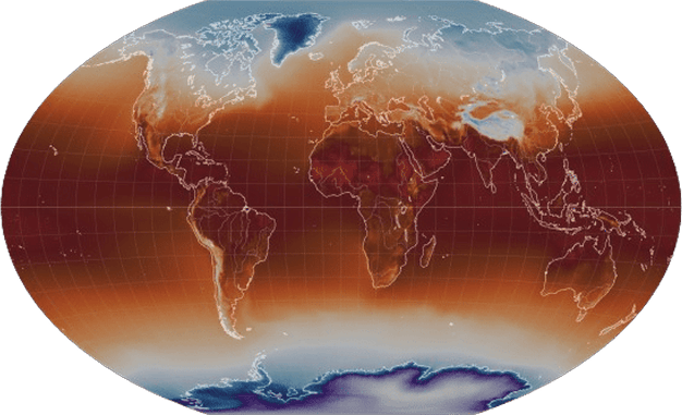
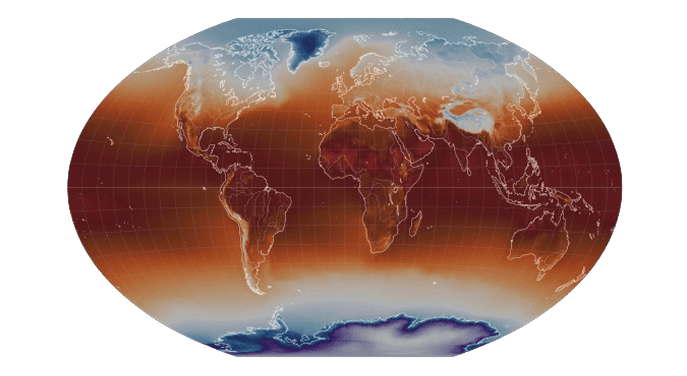
Climate interactive map
Explore variables and hazards from high-resolution climate projections data in an animated interactive map.
CLIMATE INTERACTIVE MAP